#157: Badwater Basin
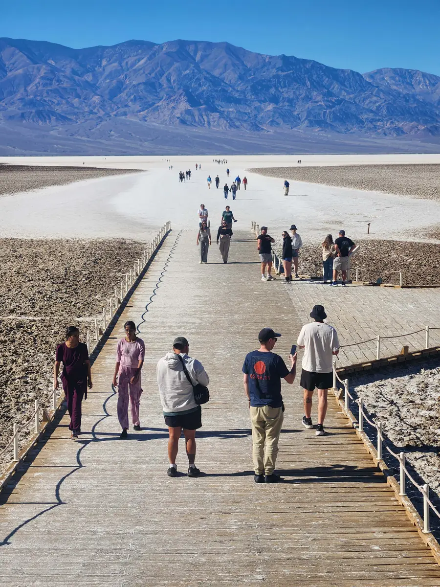 Badwater Basin, Death Valley National Park
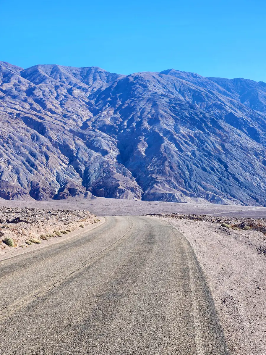
The ride from Furnace Creek Campground to Badwater Basin is about twenty miles. Most of the road is below sea level, with the lowest point -282', the lowest elevation in the western hemisphere. The road travels below mountains on the east side that ride over 5,000. The valley is to the west, covered with rock, dirt, and salt, then flanked by the Panamint Range. To have a valley one needs mountains, and there is no shortage of mountains in Death Valley.
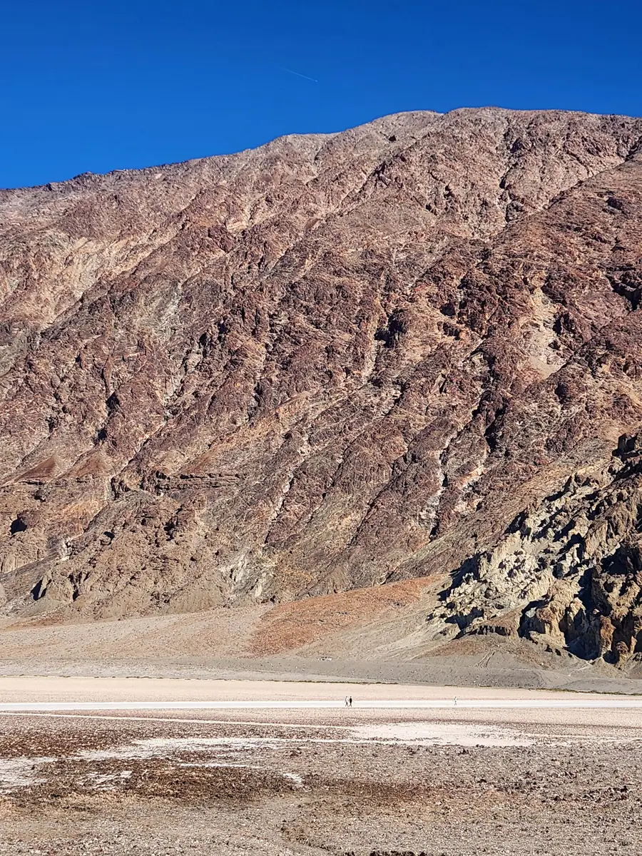 Hikers dwarfed by mountains adjacent to Badwater Basin
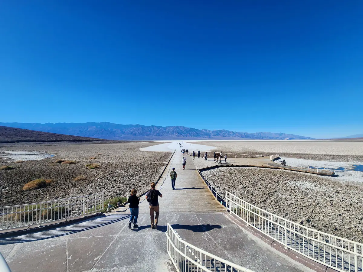
There is a parking area at Mile 17. Visitors can hike out onto the Salt Flats for at least a mile. When I was here last year, there was an actual lake covering a great deal of the area, something of a rarity due to rain from a Hurricane Hillary in August, 2023. It has since disappeared.
Badwater Basin is the lowest point in North America at 282 ft (86 m) below sea level. The salt flats here cover nearly 200 square miles (518 square km), and are composed mostly of sodium chloride (table salt), along with calcite, gypsum, and borax. (NPS)
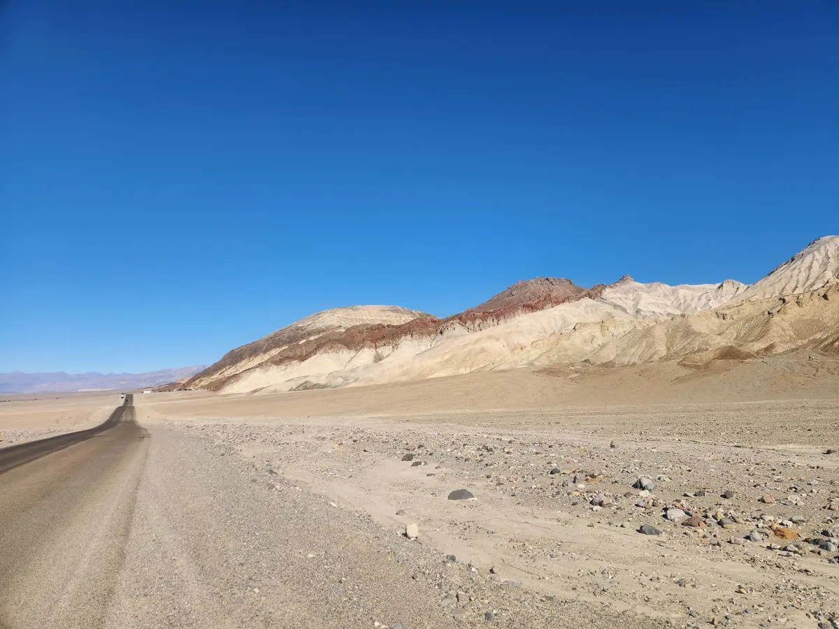 Badwater Road